The Rae Lakes loop is a route that I've been looking to complete since I found out about it around 4 years ago. It is ~64km long, and has around 2400m of climbing through the loop. The huge majority of that elevation is in the first 2/5ths of the loop on the climb up to Glen Pass through Bubbs Creek.
The general consensus seems to be that the loop is better hiked clockwise, and run counterclockwise. As I was going to be running it, I agree and definitely prefer to get all the elevation over with as fast as possible and have gentler slopes to run down.
The route:
I started the day at 6:45 and the plan was to be at Glen Pass, which was the high point of the route at ~3500m, in 4-5 hours. Glen Pass was ~26km in so worst case was only slightly faster than hiking pace for me at ~5km/hr.
 |
| Looking down Kings Canyon from the ascent into Bubbs Creek |
 |
| The Sphinx |
 |
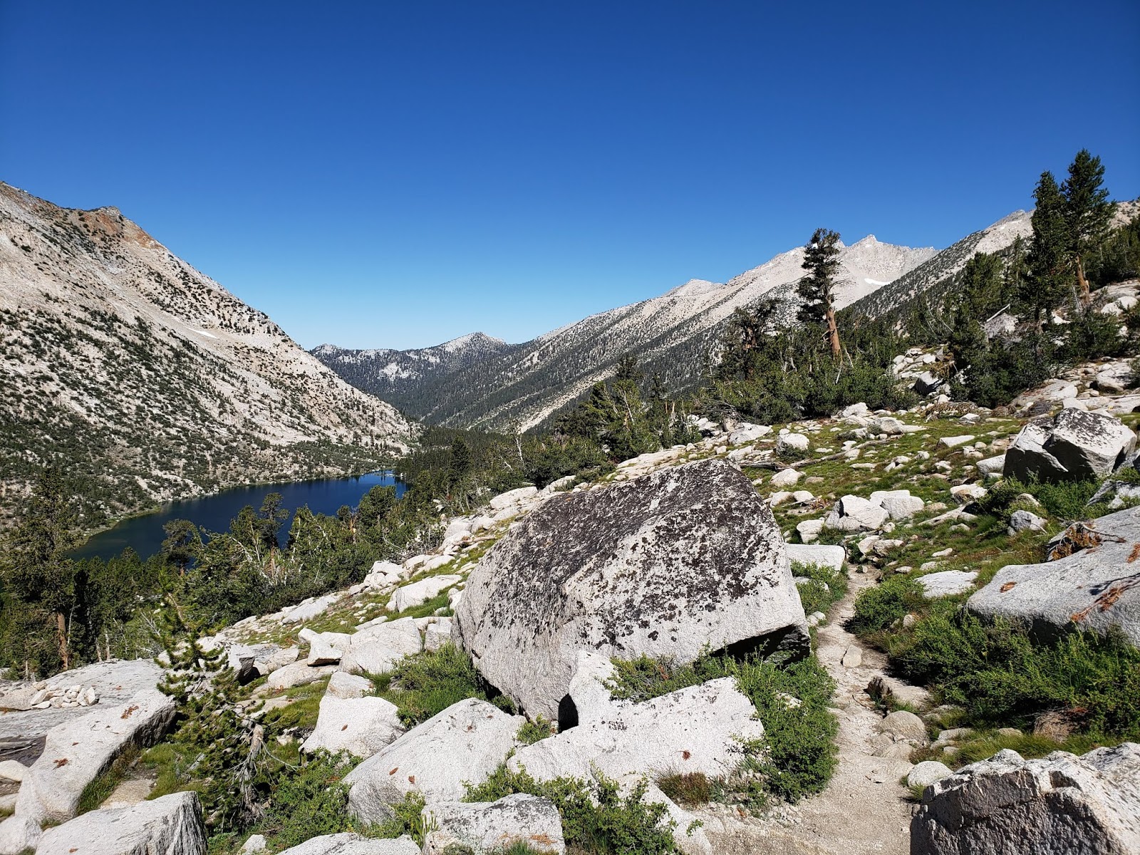
| Bubbs Creek drainage in the early morning light |
 |
| Charlotte Dome peaking through the trees |
Bubbs creek was a spectacular valley. It is a glacial cut valley with sheer faces lining the north side of the valley. Every once in a while there was a glimpse through the forest at the faces.
 |
| Bubbs Creek Wall towering through the trees |
 |
| Cool section of forest with a lot of fern ground cover |
Eventually the trail came to Juction Meadow, where it started to climb more sharply again up to Vidette meadow, and again up into the Charlotte lake basin.
 |
| Getting a view backwards when popping out in a meadow |
 |
| West and East Vidette |
 |
| Sandy basin at the Charlotte lake juction |
 |
| Charlotte Lake |
From the Charlotte drainage, it was a traverse around then a final steep push up to Glen Pass.
 |
| A very unusually coloured blue lake. It wasn't like any of the others around it, and it wasn't glacial silts? |
 |
| Looking south from Glen Pass |
There was a bunch of JMT people hanging out at the summit. I chatted with them and made them all jealous of the day hike pizza I dragged in with me :)
 |
| Rae Lakes basin from Glen Pass |
 |
| Further down into basin |
 |
| Upper Rae Lake |
While in the Rae lakes basin, I heard that the 60 Lakes basin in behind is even nicer, but I didn't have the energy to do that on this outing... another time.
 |
| Middle Rae lake and Fin Dome |
 |
| Sub-alpine trail |
 |
| Mt Cotter behind the basin |
 |
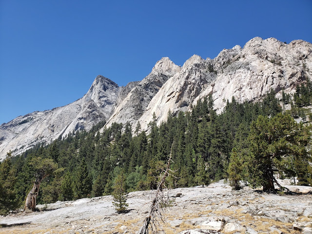
| Approaching Window and Pyramid Peaks |
For the couple kilometers the trail approached Window and Pyramid Peaks head on... photos don't do anything close to justice. I also may have a bit of a granite bias, but...
 |
| One at a time on this bridge, and they aren't joking. I felt like I was going to oscillate myself off |
 |
| The lower slopes of Window... Castle Domes |
 |
| Looking backwards at Castle Meadows |
 |
| A very smooth section of trail |
 |
| Bridge was out at Upper Paradise |
I knew the bridge was out at Upper Paradise beforehand as it is all over the NPS website, but it was at this point I got to check the condition of my blisters, and they did not appreciate the cold water! Once I got across the river, it really felt like the day was over to me, as Paradise Valley is for the most part a cruise-y valley only 15km to the trailhead back at Roads End.
 |
| Walked across the river here |
 |
| Looking down Paradise Valley |
I felt pretty good at the end of the day. My goal was 10-11 hours to the finish, and I got there in 10:15. Water was pretty easy all day, I was filling up my filter bottle almost every time I had the chance, and there was really no time when there was too long a break between streams.