I'd been eyeing getting into Tehipite Valley for a few years now but it is so remote with so little information on it that I've been very hesitant to make the trip solo. With a fast and loose organization of a boys trip it seemed like the perfect opportunity to get into Tehipite Valley and some.
The planned loop was ~160km starting from the very easy to get permits for Racheria Trailhead in Sierra National Forest. Through the loop there was ~6000m of elevation gain with the big unknown being the conditions of the trails into and in Tehipite valley and along the middle fork to Simpson Meadow.
Day1 in blue. 42km, ~12hrs elapsed, 1400m elevation. 10km to old ranger cabin, 25km to Tehipite Dome. Finished at the location of the old bridge crossing below Simpson Meadow.
Day2 in red. 37km, ~11hrs elapsed, 2150m elevation. 2km to fording Middle fork of Kings, 10km to devils washbowl, 16km to PCT junction, 35km to John Muir Pass. Finished at Wanda Lake
Day3 in green. 42km, ~11hrs elapsed, 1400m elevation. 6km to evolution lake, 21km to goddard canyon, 36km to Hell for Sure Pass. Finished at Devil's Washbasin.
Day4 in magenta. 38km, 9hrs elapsed, 1000m elevation. 10km to crossing the Upper Fork of Kings river, 17km to Crown Pass.
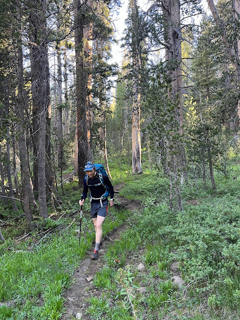
Day One started at 7:30 in the morning after sleeping at the trailhead for the early start. We all packed pretty light, all using ~30L packs. We had fresh food (sausages, potatoes and salad!) for the first day and the following dinners would be re-hydrated meals. Carried one 3 person tent and two burners.
 |
| Old ranger cabin |
 |
| Kings Canyon National Park entrance... in the spikey bushes we'd be getting up close and personal with for the next few hours |
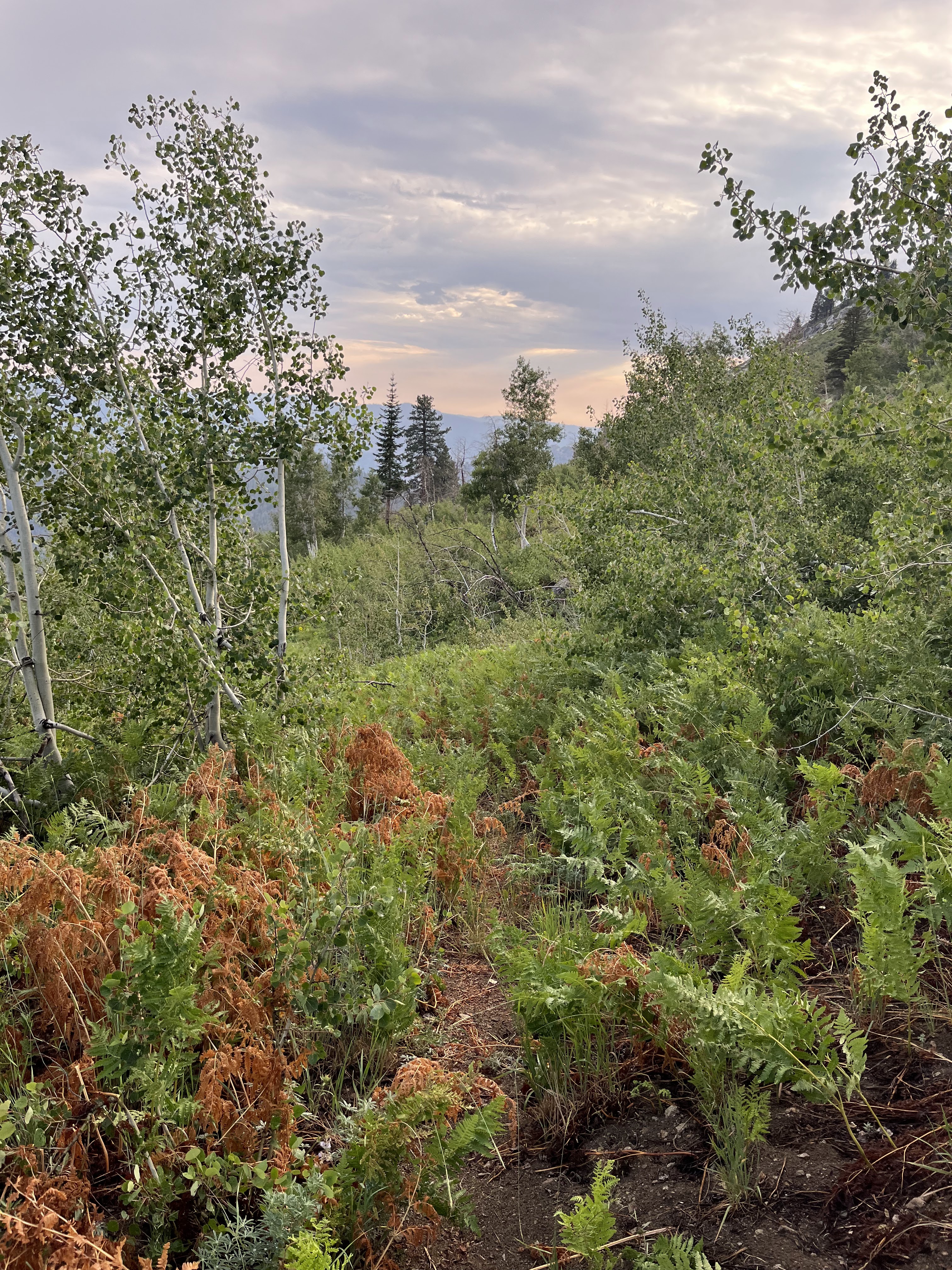
Until we turned off onto the Tehipite trail, the trail we were on was generally pretty well established with detours around recently fallen trees in areas which had seen more recent fire. Tehipite trail had more trees down, and we were encountering spikey bushes growing over the trail on the more open east facing slopes.
 |
| Hanging out above the huge descent |
 |
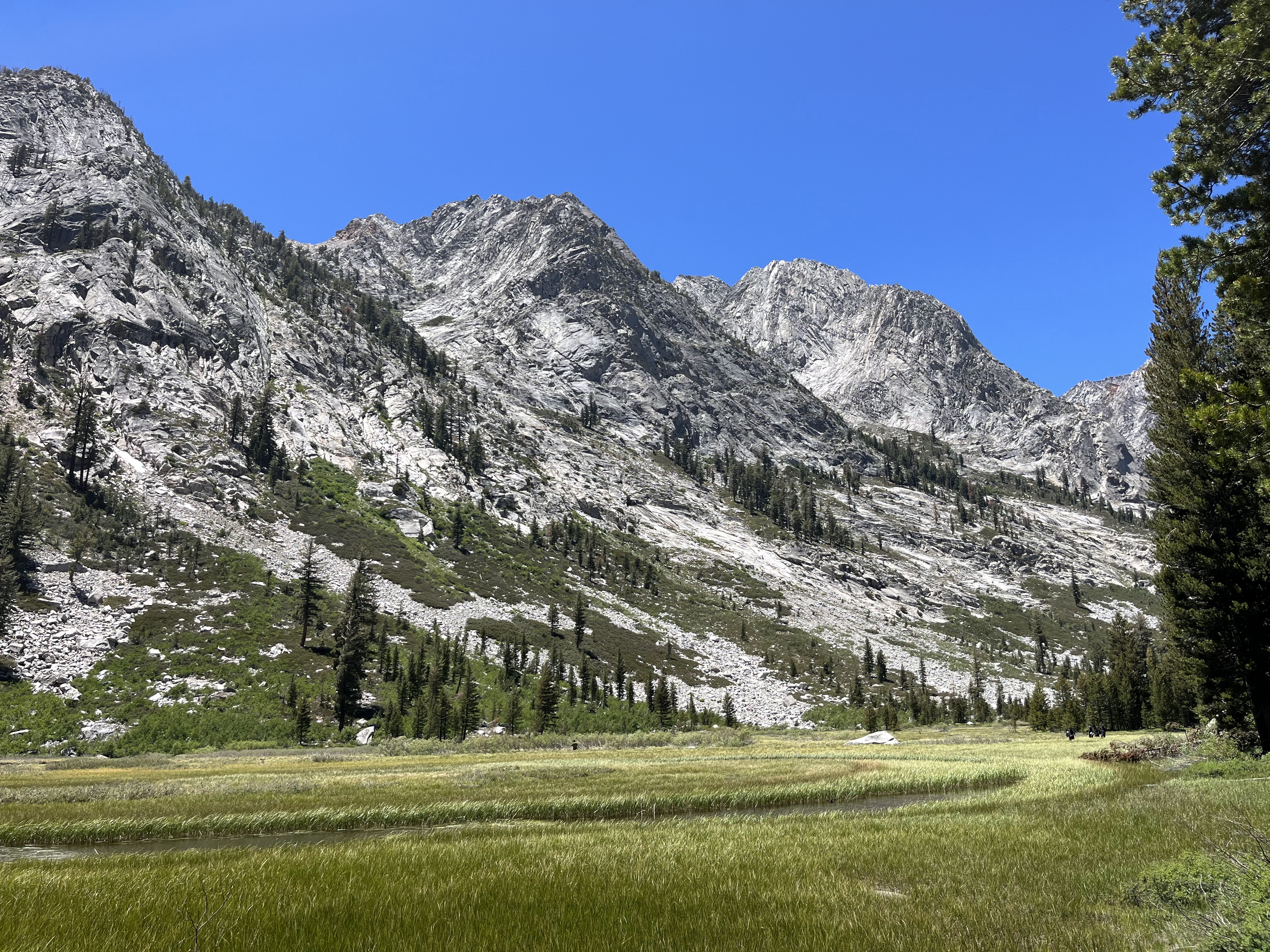
| Tehipite Valley |
The much "hyped" descent (~1000m in 4km) to valley bottom wasn't as bad as I expected. The trail was easy to follow and there was less deadfall on it than everything leading up to it. There was poison oak on the lower third to watch out but for the most part it was avoidable when you knew what to look for. BUT the trail was very steep and my knees and thighs were burning by the time we got to the valley floor. On the valley bottom, the trail was worse... The trail became hard to follow due to overgrowth and we not only had to deal with poison oak... but brambles as well! Luckily the brambles were short lived and only really lasted until we came to the clearing below Tehipite Dome.
 |
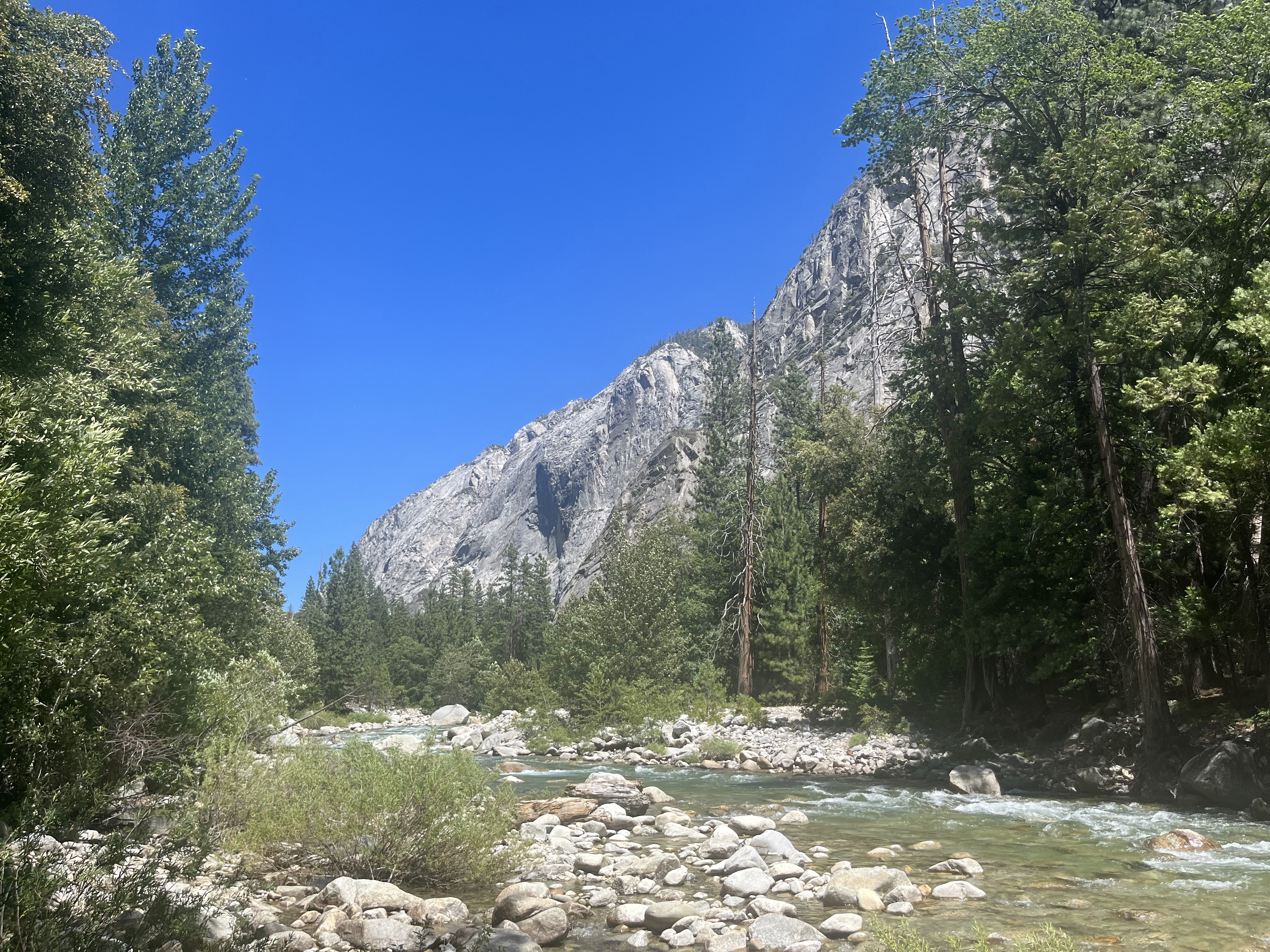
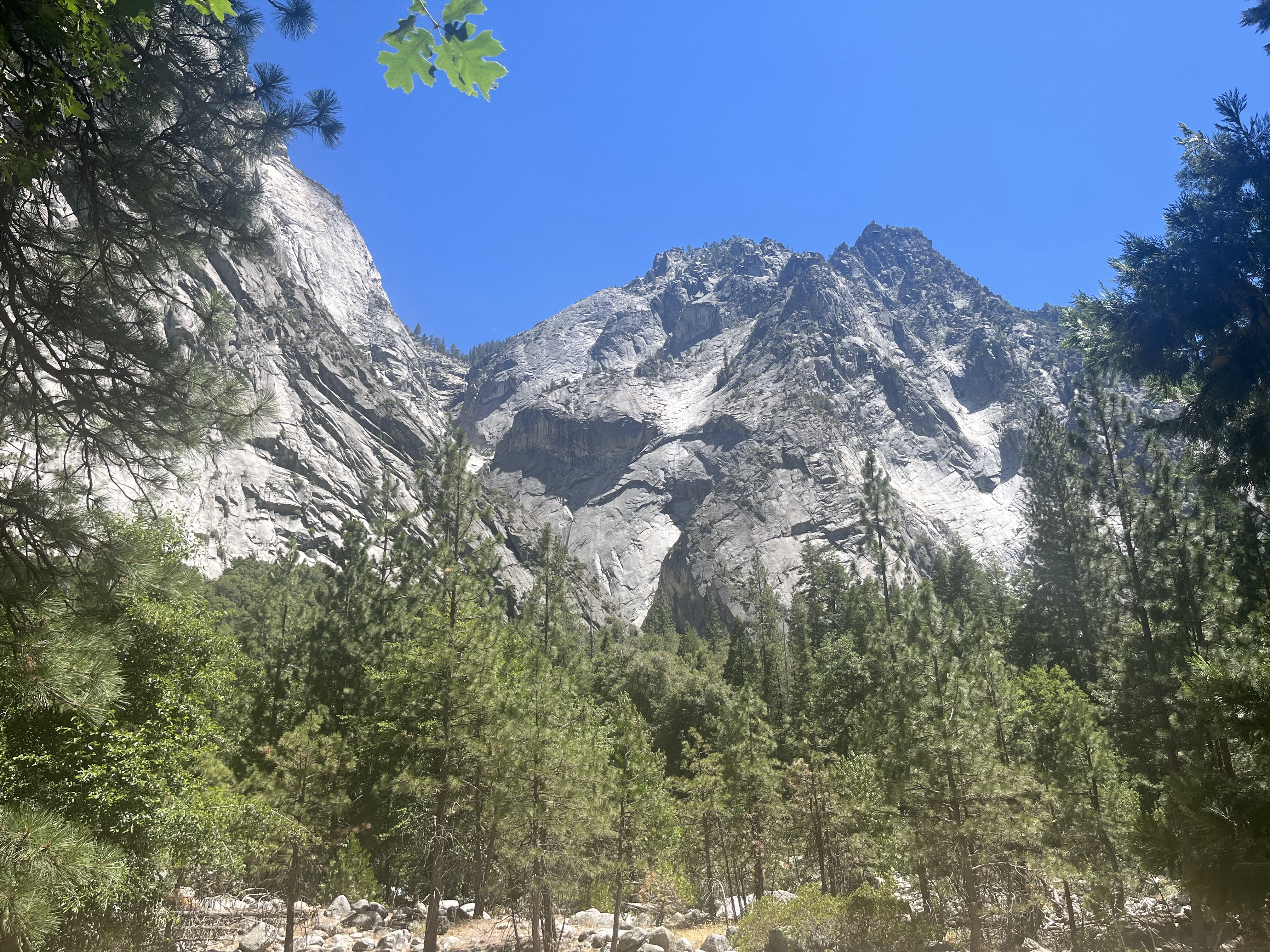
| Tehipite Dome... ~1000m granite face |
We washed off the poison oak in the side channel of the kings and had lunch in view of Tehipite Dome. Somehow none of us got any poison oak rashes during the trip. For us to get here it was about 5 hours elapsed, but we still had a long way to go on slower trails.
 |
| Yeah, we got lost, a lot. |
 |
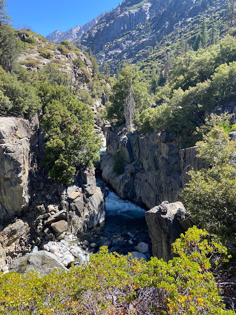
| Middle Fork of Kings river. I noticed after we finished this loop and looking at the map this photo was right where the map is marked with "painted rock". We were not on the trail... |
 |
| Gorge of despair |
 |
| Crystal Creek |
At some point I realized I could zoom way into the map on my garmin watch (A feature I previously thought was gimmicky) and it really helped us navigate and stay on the trail. No needing to pull out the cell phone and caltopo and wait for GPS lock... it was already up and running on the watch. The trail garmin had marked was generally correct so it made it a lot easier when we were in the sections of deciduous forest and leaves had long covered anything which might have once resembled a trail. There was lots of following the watch when we couldn't find a trail and the trail would eventually re-appear (thankfully).
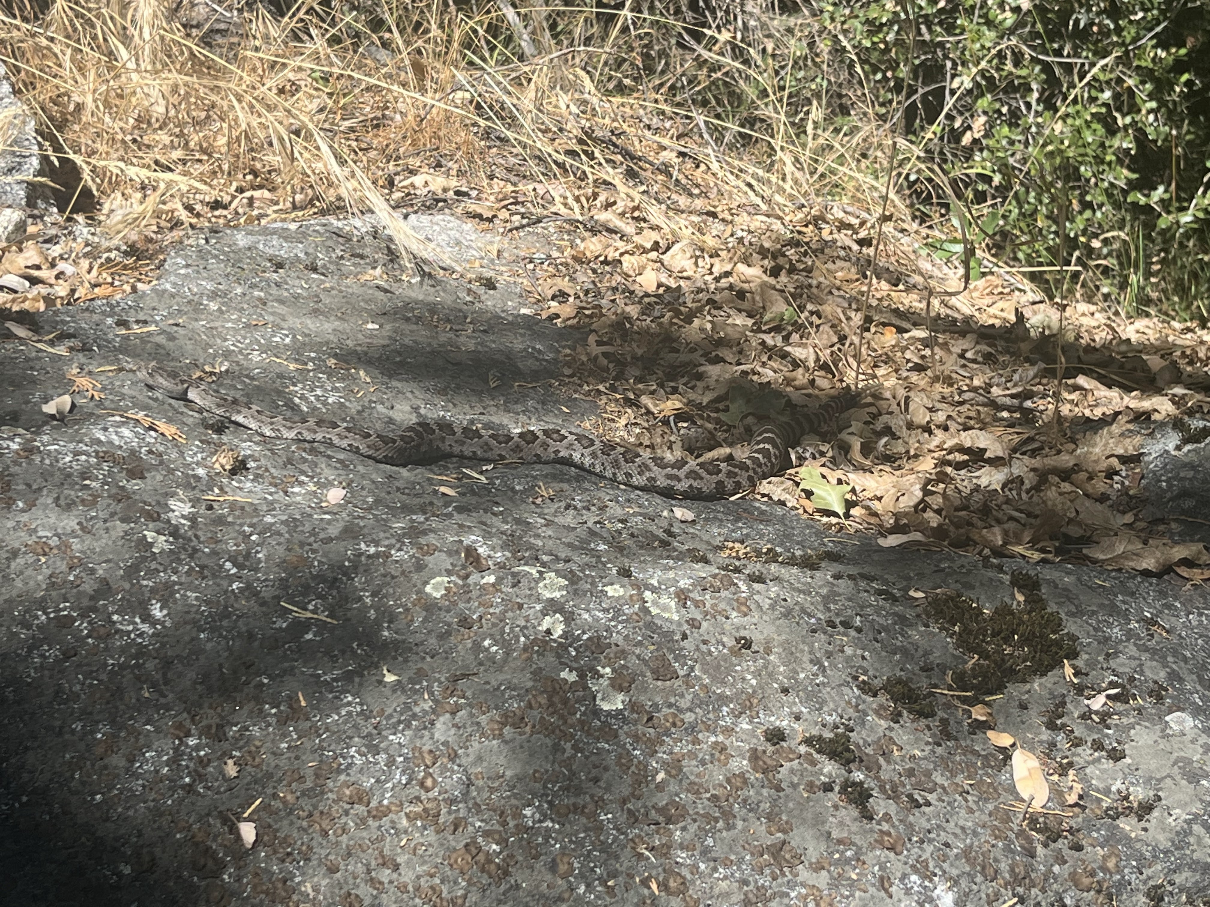
The trail was very interesting through the valley. There was sections which you could tell tonnes of effort went into making many many years ago, but were now lost and buried. It would be nice if the parks service went in and just did a "basic" log clearing operation on this trail at some point. The underlying trail is solidly built and just "in hiding". Outside of logs across the trail, we did run into some wonderful sections of stinging nettle. We encountered 2 bears and 3-4 rattlesnakes through the day on the valley floor.
 |
| Rattlesnake... All the rattlers we encountered were so chill. |
 |
| Blue Canyon Falls |
 |
| Old growth, big cones |
 |
| The ex bridge at our camp spot |
We kept going pretty late on day one... the narrow valley section had no real great camp spots. I knew the washed out bridge might have the best chance of having an okay spot as there are usually camp spots at junctions or major crossings. Turned out there was nothing amazing, but we had something which worked.
Day two started at around 8 after a leisurely morning (every morning with this group :) ). It was a short distance before crossing the Middle Fork of Kings River. We found a pretty decent spot that turned out was pretty much exactly where I had our route going across on caltopo.
 |
| Morning light on the Kings |
 |
| BIG rattler skin I found right by our camp |
 |
| Red trees |
 |
| Exciting river crossing |
 |
| Woodworth from our crossing location |
 |
| Beautiful mix of colours |
 |
| Looking up the kings |
 |
| Canyon |
 |
| marching onwards and upwards |
 |
| This section was amazing... |
 |
| Devils Washbowl |
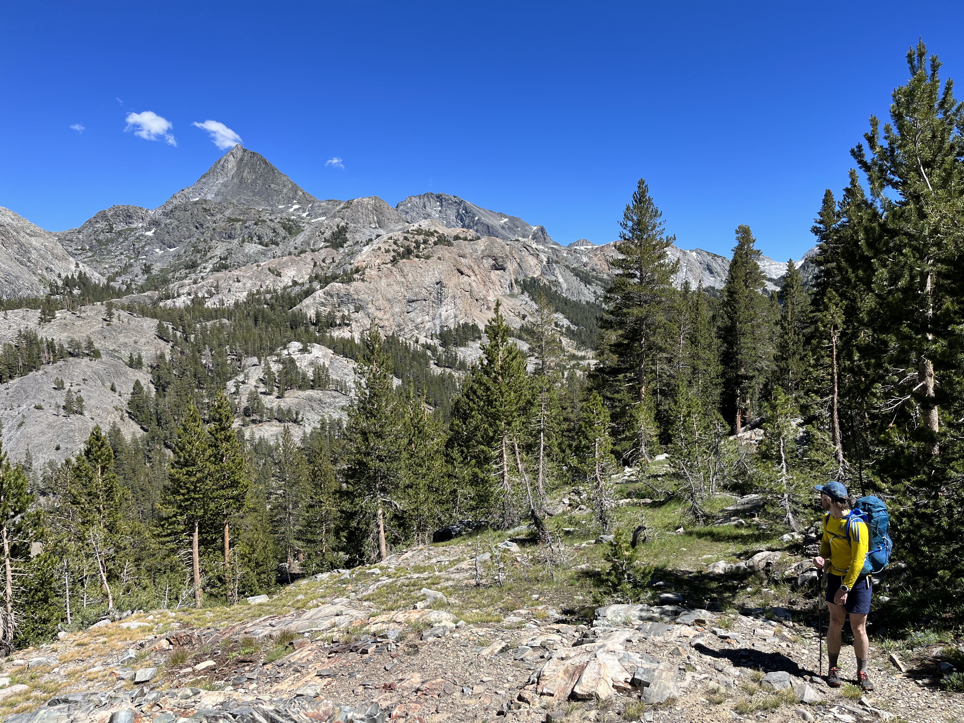
The canyon and mountains surrounding the trail on the section leading up to Devils Washbowl was amazing. One of my favourite sections of the loop. We had lunch at the junction with the PCT. At this point it had been more than a day since we'd seen anyone and pretty much immediately were bombarded with the presence of JMT and PCT hikers.
 |
| Kings cascading |
 |
| Grouse meadow and the Citadel |
 |
| Langille peak |
 |
| Sub-alpine lushness |
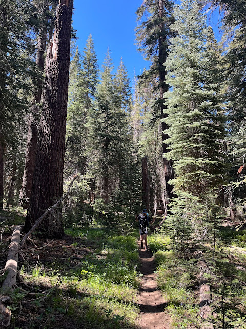
The entire section up le conte canyon was very enjoyable. Excellent views and the trail was consistently graded with an easy surface (not climbing over logs anymore!!).
 |
| Getting closer to the pass... |
 |
| Helen Lake |
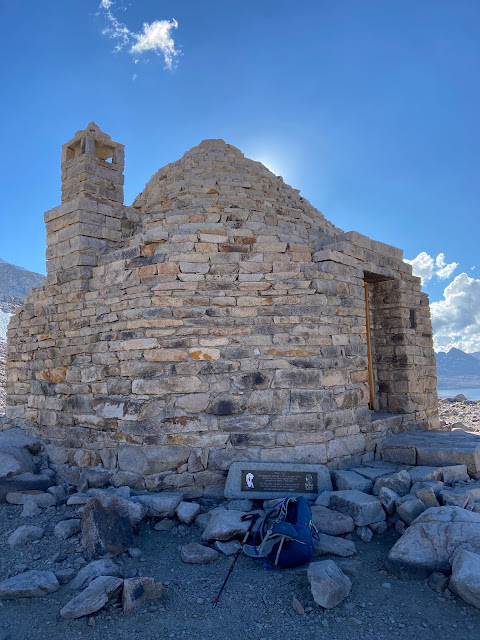 |
| At the pass! John Muir Hut |
 |
| marmots! |
After setting up camp at Wanda Lake and prepping my dinner I made the poor decision to go for a swim as the sun was setting. By the time I got out of the water the temperature was already dropping and I struggled to get warm for the next ~30 mins until I got into my sleeping bag. Our camp spot was delightful.
 |
| Camp |
On day three Rob and I ended up abandoning Nico not long into the day. His knees were not feeling too great on the downhills, so he wanted to minimize the downhill remaining by exiting via Florence lake which has no additional climbing or passes. We'd then continue to the start location (car) and either pick him up at Florence Lake or he'd hitch a ride out over Kaiser Pass. We had two inreaches in our group, but only a single three person tent. Nico got the short end of that stick and got to sleep out in the open.
Being PCT trail and downhill, Rob and I were able to rip down to Goddard Canyon in around 4 hours elapsed... just in time for lunch!
 |
| Wanda lake and Mt Solomons |
 |
| Sapphire Lake with Mt Darwin in the back |
 |
| Mt Huxley over Evolution Basin |
 |
| Evolution Lake |
 |
| McClure Meadow |
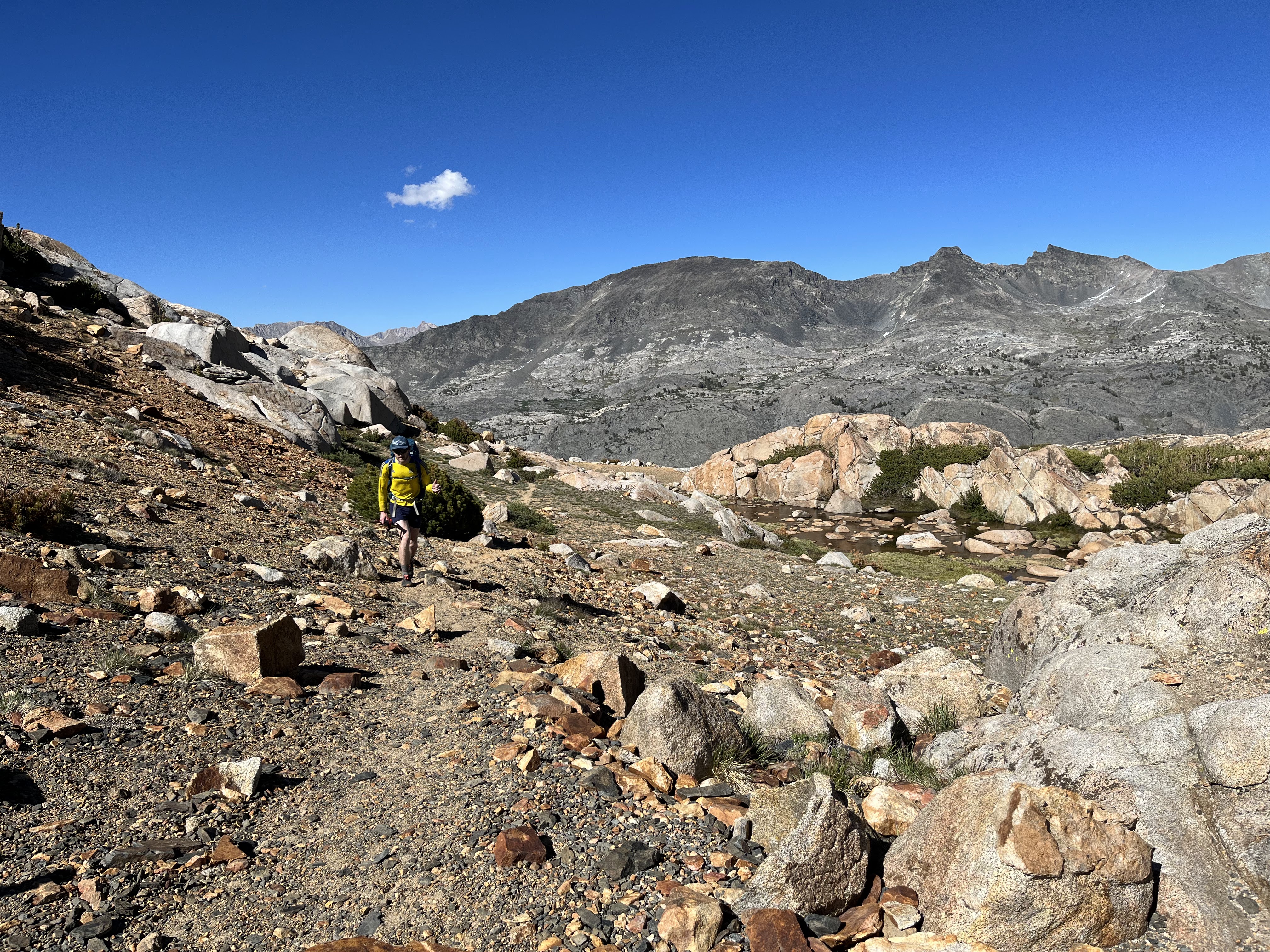
Goddard Canyon was back to the quiet wilderness we had for the first day and a half of the trip. It was also a really pleasant enjoyable section of trail. Nice forest, nice meadows and a river which would occasionally make a showing beside us. The trail slowly faded as we got further and further back, and by Hell for Sure pass it was intermittent, but it wasn't difficult terrain to navigate.
 |
| Goddard Canyon |
 |
| Whitewater |
 |
Starting the climb out of Goddard Canyon
|
 |
| Steep with intermittent trail |
 |
| Topping out at Hell for Sure Pass |
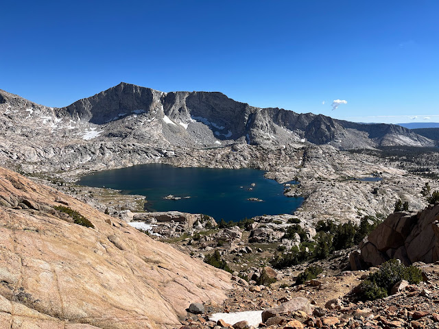 |
| Hell for Sure lake |
 |
| Devils Punchbowl |
We ended the day at Devil's Punchbowl. There was great campsites, fresh water and a place to dip. The next definite camp spot would be down at the North Fork of the Kings, which would be running tight with daylight being a further 7km down the trail. Turns out there was a few spots which would've worked on the way down Meadowbrook trail, but no swimming.
Day four started pretty early with us ensuring we'd have enough time to go and retrieve Nico and drive back to the bay.
 |
| beautiful meadows coming down from Devils Punchbowl |
 |
| There was even some frost this night! |
 |
| Pounding away the miles |
Crossing the North Fork we ran into the first major bugfest of the trip. I was climbing onto some logs to cross the creek and ended up losing my balance while climbing on swatting and fell directly onto my bag. Thankfully I was fine and also avoiding falling into the creek. We busted out the deet once we got across the river and magically there was no bugs again!!
 |
| Halfmoon Lake |
 |
| Above Halfmoon Lake, approaching Crown Pass |
 |
| Crown lake in the background |
The trails through the day were generally really cruisy and clear and we were able to move quite fast. The one exception was the cutoff from Maxson meadow to Halfmoon Lake. It was another one of those circumstances where there was a really nicely built trail buried under a decade of debris and infrequent use. We got a bit lost at the top linking up into Halfmoon Lake but got there eventually.
 |
| Decomposed granite |
 |
| Lots of mosquitos grow here |
 |
| Finger rock |
 |
| Almost done! |
 |
| Fini! |
We finished up the day pretty early but definitely feeling the distance we'd put in on the past four days. Nico had thankfully found his way out to Huntington Lake but had unclearly given us directions of his exact location to keep things interesting :) We made it home a little after 10pm with a long stop for Mexican food in Los Banos. Wonderful trip, awesome loop and company!