Granite Basin and Kennedy Canyon 07/30/22 - 07/31/22
When I was booking the permit for last trip (Tehipite/Middle Kings) I quickly poked around in Kings Canyon National park to see what availability was looking like and saw there was a single permit for the 30th. I grabbed it and planned a 120km loop to do over that weekend. When the weekend came around... the weather was looking like a major obstacle. There was a forecast of 40mils of precip at roads end on the Sunday, and 70mils higher up. Things did not look good. Saturday had an okay forecast with a small chance of precip in the afternoon but it looked doable. I didn't mentally commit myself too hard to the loop and was just going to keep my options open...
After picking up my permit at the trailhead, I was off at 730am. I really wished at this point I had showed up earlier the previous day for pickup so I could depart at sunrise, but that's how it is. I blasted up the Copper Creek climb to Granite Basin to try to put some kilometers under me as fast as possible. I knew if I was still going to do my 120km loop I'd have to punch out ~75km today to skip out on the worst of the afternoon rain on Sunday. By the time I had got to the saddle before dropping into granite basin there was already some nasty looking clouds forming to the southeast and I did not like my chances for the day. I decided to play it safe and not get myself massively far from the trailhead and getting wet on Saturday... so I replanned my day using CalTopo to go through Kennedy canyon, over Kennedy Pass and dropping back down the Lewis creek drainage. I couldn't get a good estimate of distance on my phone but it seemed both short and long enough :)
Route ended up being ~70km with about ~3500m of climbing... half of which was done by the time I had made the decision to change my course! Day one in blue, day two in red.
Grand Sentinel
Looking down copper creek drainage
The exit point of Granite Basin from the saddle
Granite Basin
View northeast from Granite pass
A swampy lake
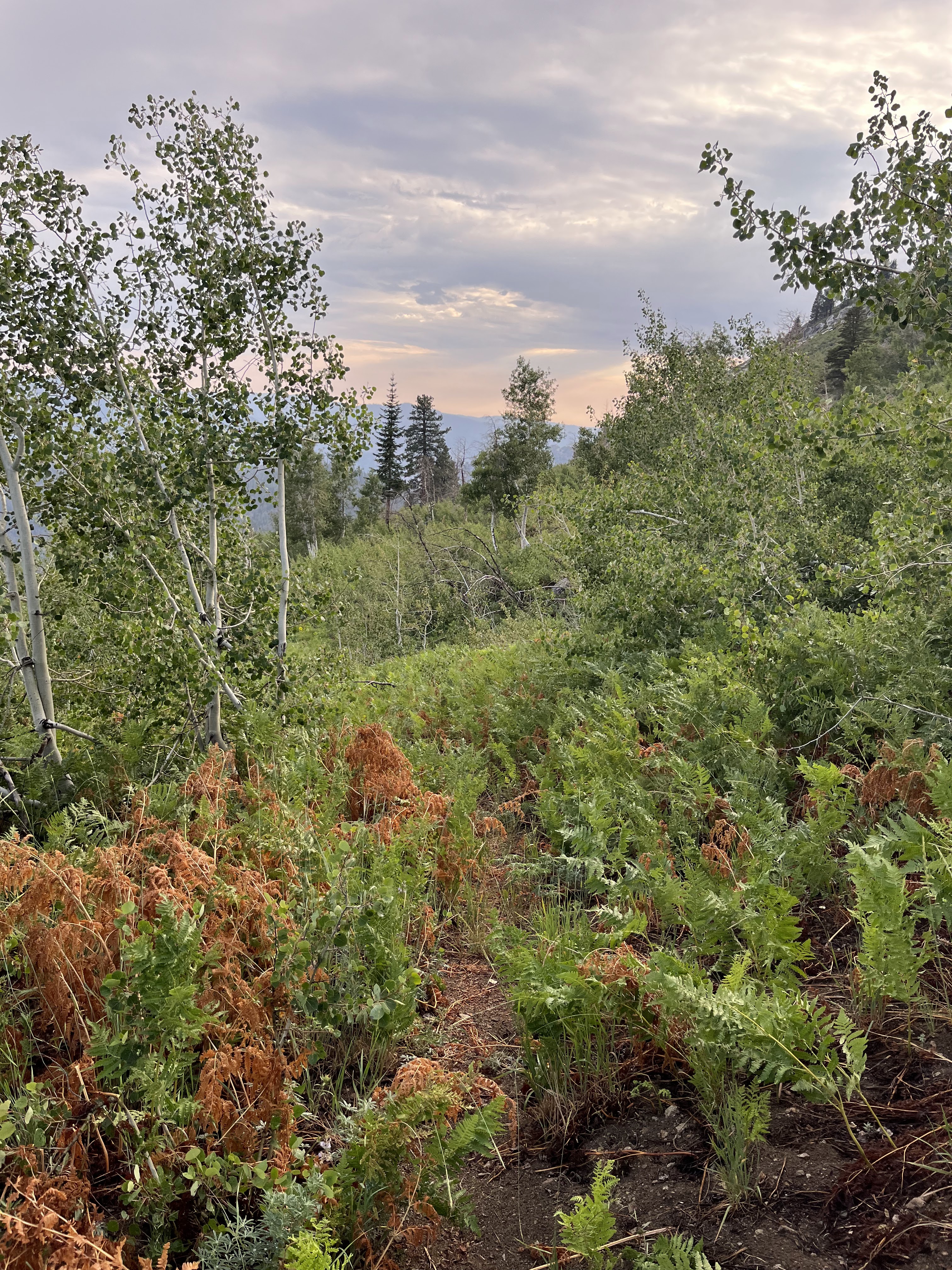
Kennedy Canyon from roughly where I entered it.
There wasn't really a trail, but there was cut logs. Follow the cut logs until you can't, then wander until you find the cut logs again!
Hard to follow the cut logs here
The early morning suspect clouds eventually grew into something to be scared of a little before 4pm. At around 4 I had found a nice tree to hide under from the rain and was under there until the lightning started up. There happened to be a nice overhanging granite slab nearby that I hid under for ~45 mins. There wasn't a tonne of room and I tried way too hard to keep my feet dry from the splashback. This was entirely rendered useless as soon as I left the overhang at the end of the heavy storming... there was no real trail and I was walking through wet grass and shrubs. Instantly soaked!
The storm was pretty exciting for a few periods!
Upper Kennedy Canyon
Looking east a little shy of the summit. East Kennedy lake in view.
Looking north from the Kennedy Summit
The descent down continued to have more tall plants. The wetness continued.
I stopped for the night in Frypan meadow. It was getting a bit late at this point and it was a "marked" camp spot... so it should be good (it was okay). I saw two bears on the descent, including one at the creek right before the camp. I was hoping it wouldn't find the camp in the middle of the night, but it was one which was scared of humans thankfully as it bolted as soon as it spotted me.
There was an older couple from Seattle at the camp who was unaware of the upcoming weather! They were disappointed they had escaped the rainy PNW for a rainy California.
Frypan meadow
I didn't get a super early start on Sunday as I knew I figured I had around 20km left and the rain wasn't coming until the afternoon so I had some time to sleep in!!
Between Lewis and Comb Creeks
Dropping down to the valley floor
The final day was decent until I hit the valley bottom. What was marked as "cedar trail" was actually a ranger forest road. And when it eventually came to an end it was a horse destroyed trail. And on top of that there was a lot of gnats provoking me to move faster... It was 0 percent pleasant and I would never recommend it. I honestly think walking the highway through the valley would have been better. I got back to the car before the rain and was out of the parking lot by 11am!
Other than "cedar trail" it was a solid set of trails for a route planned on the fly as a backup. Great save of a wilderness permit and I was very glad I decided to play it safe and not try to force the big loop with the weather.


No comments:
Post a Comment